By Jon Christensen
Writer Jeremy Miller has used a media fellowship at the Center this year to dig deeper into a historical mystery: how could a highly respected explorer, cartographer and artist – known for pioneering modern techniques for representing topography on maps – have gotten his illustrations of the western landscape so hopelessly wrong?
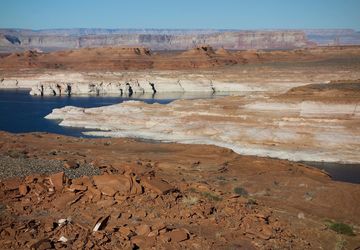
Friedrich von Egloffstein was a German aristocrat who was one of the first white men to reach the floor of the Grand Canyon, while on Joseph Christmas Ives’ landmark expedition of 1857 to 1858. Egloffstein's maps are still considered masterworks, but his drawings and etchings have drawn ridicule, dismissed by the writer Wallace Stegner and others as the feverish product of a European overwhelmed by a dramatic and alien landscape.
Using digital tools to align Egloffstein's maps to present-day land features, Miller was able to revisit points along the explorer's travels and hone a dramatic new theory, which Harper's Magazine has published in its January 2012 issue: that the illustrations long associated with the Grand Canyon exploration had in fact been done years earlier on a separate trip through another so-called "Grand Cañon" in present-day Colorado, where the steep and severe scenery closely matches a stretch of the Gunnison River.
To help tell a complex story of a body of work largely lost to history, rife with mistaken identities and mismatched locations, Geoff McGhee, our creative director of media and communiations here at the Center, worked with Miller to create an interactive companion to his article, which is available on the Harper's website.
The interactive maps let readers explore the route of the Grand Canyon expedition and see for themselves how poorly the engravings published in Ives’ 1861 report resemble the area we know today. Then a second map follows the earlier, largely forgotten expedition down the Gunnison River, where readers can click to see Egloffstein's work compared with images taken for the story by the landscape photographer Lena Herzog.
The images, which show a striking resemblance, may not be the last word in the debate, but Miller's reporting sheds new light on a fascinating and misunderstood figure who played a significant role in the mapping of the American West.