Welcome to the Bill Lane Center for the American West
Dedicated to advancing scholarly and public understanding of the past, present, and future of western North America, the Center supports research, teaching, and reporting about western land and life
What is the Bill Lane Center?
Learn more about the founding of the Bill Lane Center, Stanford University's academic hub for regional study of western land and life.
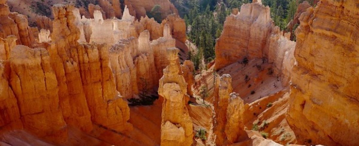
What is the West?
Our definition of the American West is expansive and takes into account the many dimensions of the region, from those rooted in geography to those rooted in the cultural and literary imagination.

Photo by @thematthoward on Unsplash
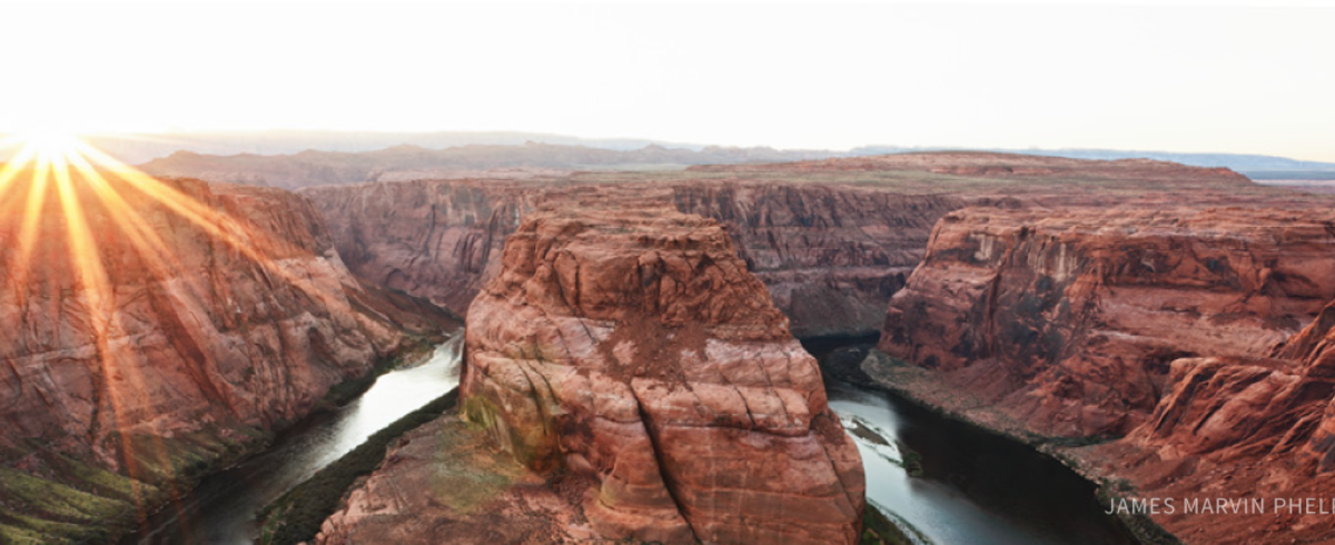
Annual Rural West Conferences addresses the Colorado River crisis and more
Annual Rural West Conferences addresses the Colorado River crisis and more
Stanford News offers coverage of our annual Rural West Conference, which took place March 27 in Tempe, Arizona. The future of water and other issues facing the rural Southwest were top of mind.

Kate Gibson discusses all things Bill Lane Center on KZSU
Kate Gibson discusses all things Bill Lane Center on KZSU
What is the Bill Lane Center and who do we serve? Jon Cousins interviews Bill Lane Center Associate Director Kate Gibson on "The Great British Breakfast" show.

2023: The Year in Review
2023: The Year in Review
We look back on highlights from 2023 with immense gratitude for the students, faculty, staff, public audiences, donors, and friends of the Bill Lane Center who made the year so abundantly rewarding. From all of us to all of you, happy holidays and happy trails!

The Bill Lane Center and colleagues release joint survey findings on transgender legislation and policies
The Bill Lane Center and colleagues release joint survey findings on transgender legislation and policies
A new report examines the attitudes and opinions of Arizona, California and Texas residents regarding restrictive legislation and policies related to the transgender population. The report finds that residents of blue California, red Texas and purple Arizona generally do not support more rights for transgender people.
Recent News

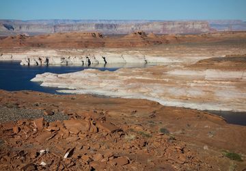
Image Credit: Getty Images